-
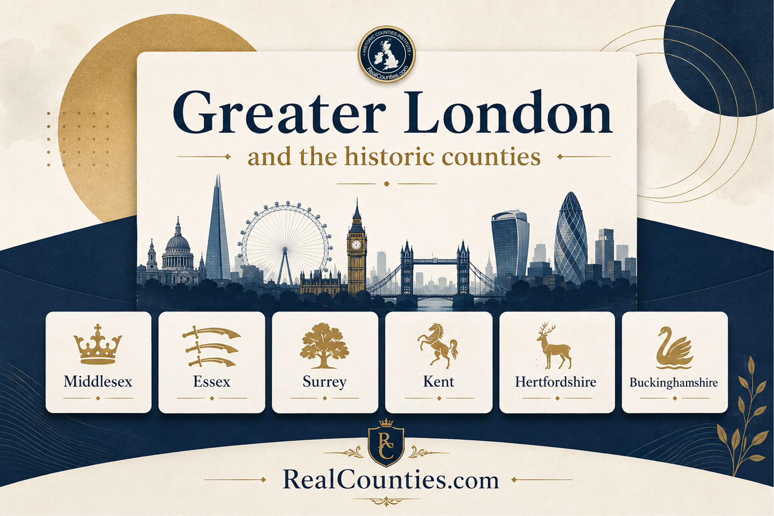
Greater London and the historic counties explained
Greater London, established in 1965, overlays historic counties like Middlesex and Kent, illustrating distinct administrative and geographical identities that coexist without replacement.
-
Counties corporate explained: did Bristol, York, Norwich and other cities become separate geographic counties?
Cities like Bristol, York, and Norwich gained county-corporate status, ensuring legal jurisdiction independence, but remained geographically part of their respective counties.
-
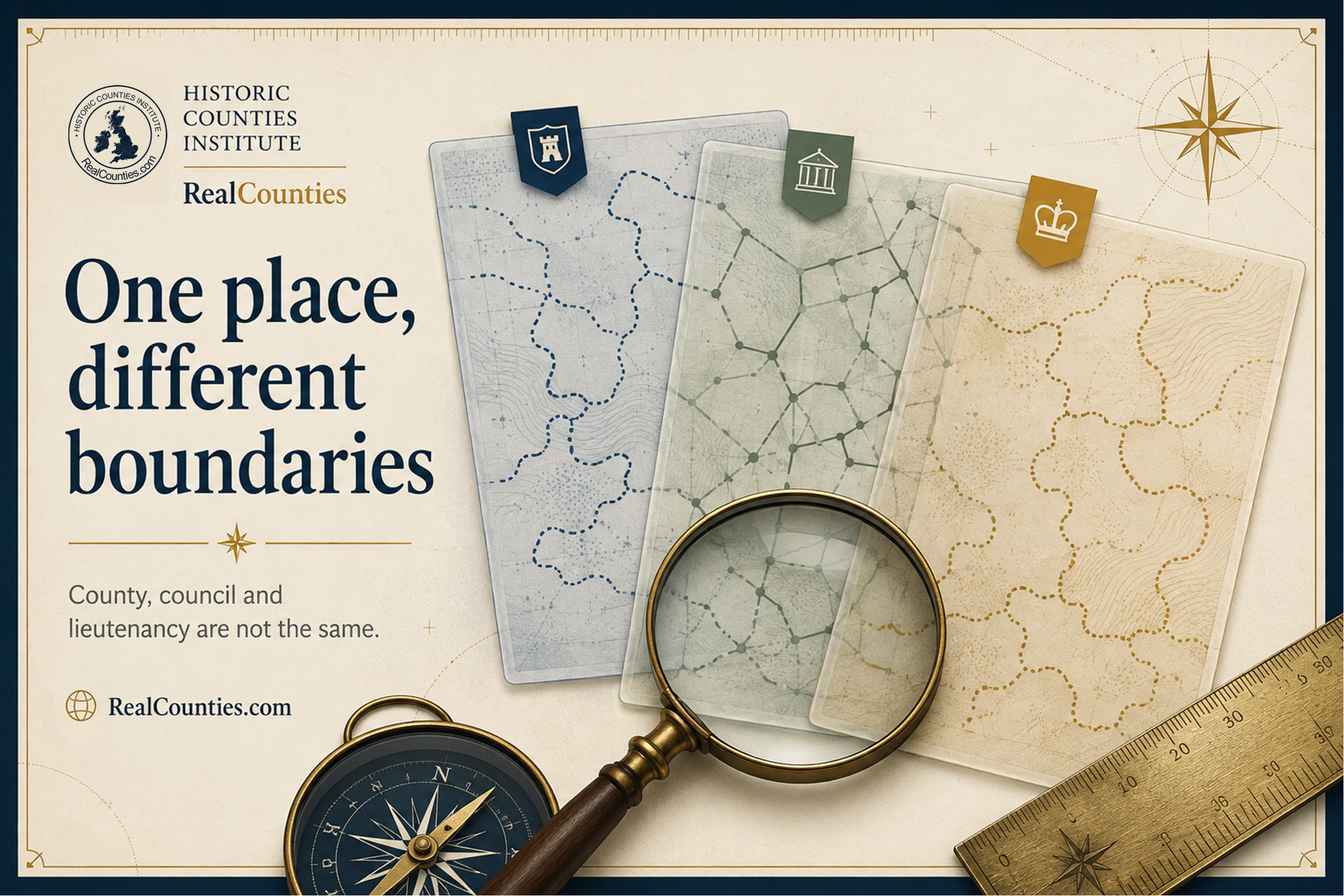
Why do different maps show different county boundaries?
Different maps may show varying county boundaries due to differing geographical layers. Understanding each map’s intent is crucial, as historic and administrative boundaries can differ.
-
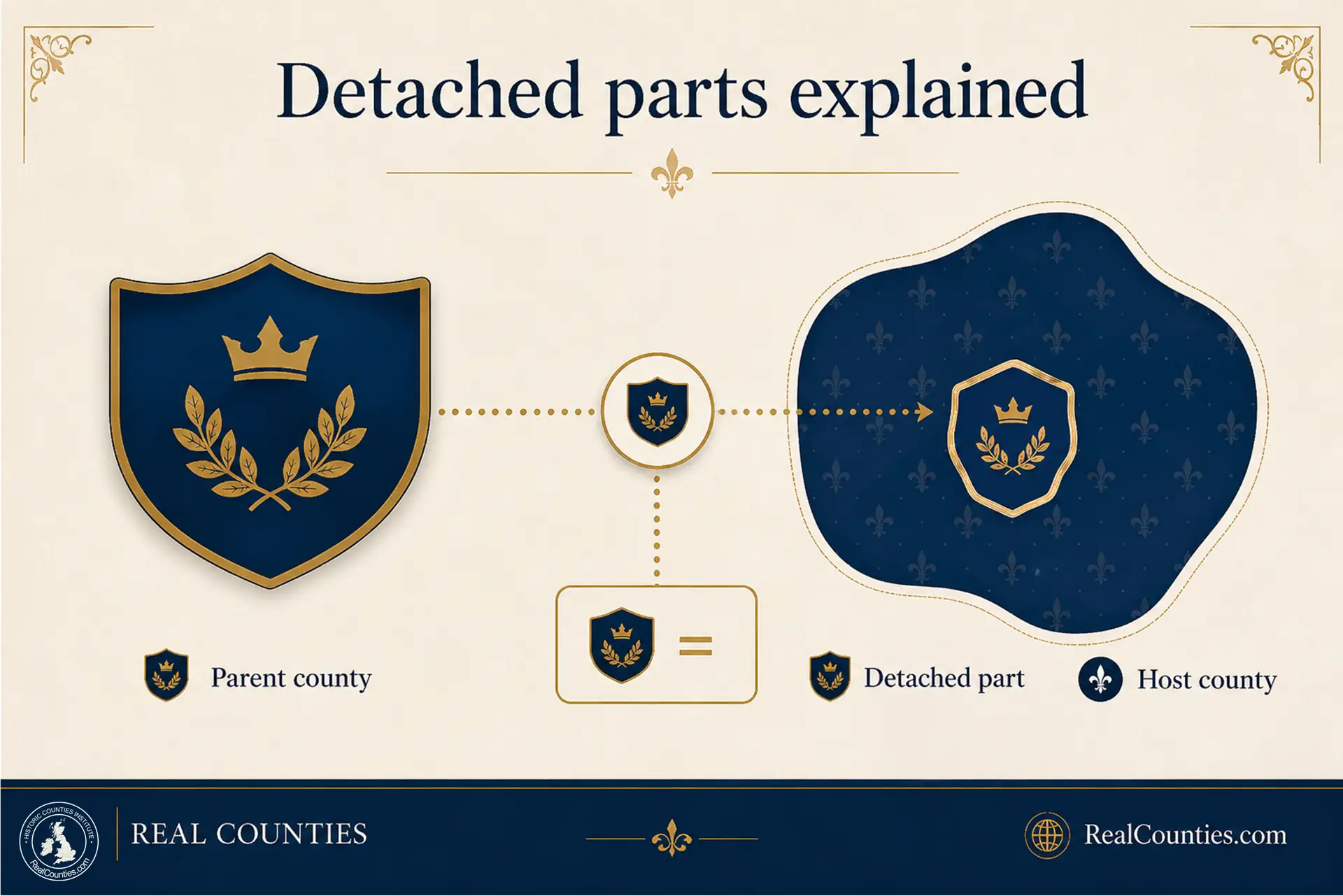
Detached parts of counties explained: what they are, how they work and why they matter
Detached parts are historic county territories separated from their parent county, located within other counties; understanding this duality is crucial for historical geography and accurate place descriptions.
-
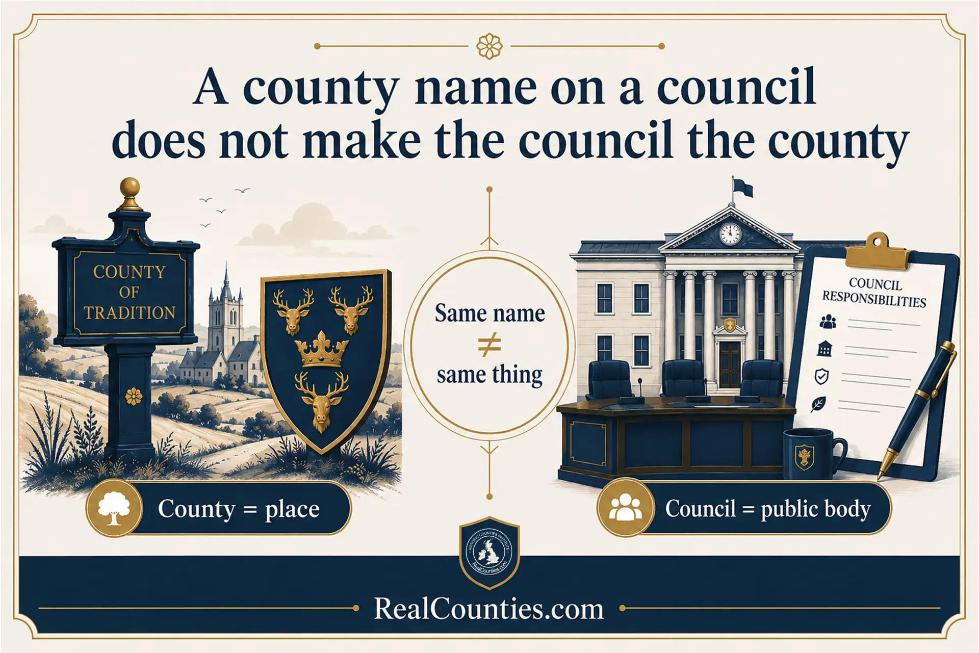
Why a council with a county name is not the county
Councils sharing a county name do not equate to the geographic counties themselves; one is an administrative body, while the other is a stable territorial division.
-

What are “ceremonial counties”? What the term actually means
The term “ceremonial county” refers to lieutenancy areas in England, often misleadingly conflated with geographic counties and local government areas despite their distinct purposes and boundaries.
-

County Progress Report: Yorkshire Day, Ancient Boundaries and the Latest LGR Areas
RealCounties celebrates one million views this month, highlighting Yorkshire Day, ancient boundary documentation, and responses to local government reorganisation, promoting historic county relevance and identity.
-
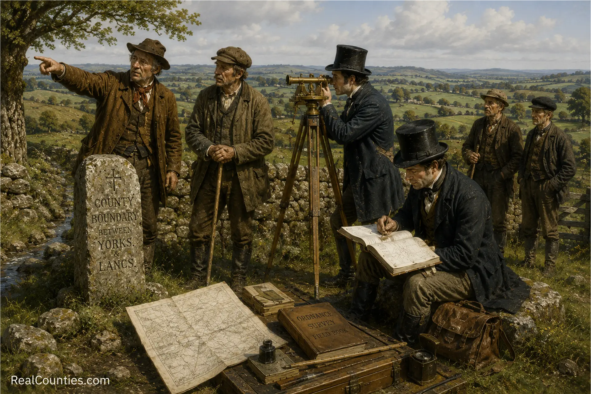
Walking the County Line: How OS Recorded Britain’s Ancient Boundaries
In the early nineteenth century, the Ordnance Survey began mapping Britain, establishing county boundaries through local knowledge and legislative support, blending tradition with modern surveying techniques.

Geography • Identity • Continuity
Reference, evidence, and public education for the historic counties.
Counties are geography. Councils run services, lieutenancies are ceremonial – neither defines the counties.
You must be logged in to post a comment.