
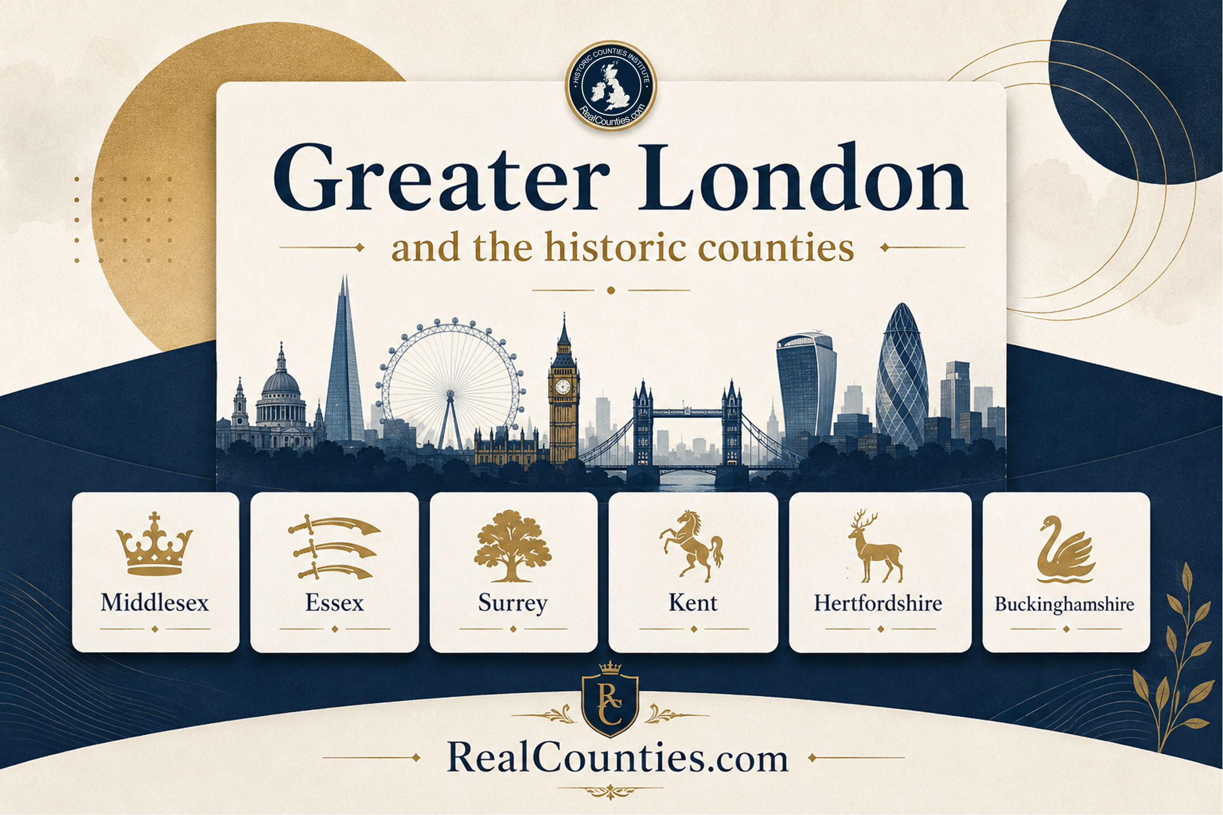

Greater London is not a historic county. It is an administrative area created by the London Government Act 1963 and brought into operation in 1965. It sits across an older and quite separate layer of geography: the historic counties.
At its creation in 1965, Greater London covered territory geographically belonging to Middlesex, Essex, Hertfordshire, Kent and Surrey. Later changes to the administrative boundary also brought small areas of Buckinghamshire within present-day Greater London. None of those changes abolished, replaced or redrew the underlying historic counties. The central principle is simple: Greater London answers an administrative question; the historic county answers a geographical and historical one.
That distinction explains why places can correctly be described as both London and Middlesex, London and Essex, London and Surrey, London and Kent or London and Hertfordshire. There is no contradiction. They are descriptions from different geographical layers.
The short answer
If the question is “Did Greater London replace Middlesex and the other historic counties in 1965?”, the answer is no.
Parliament created Greater London as an administrative area. The 1963 Act itself uses precisely that description, providing that the areas of the London boroughs, the City and the Temples should constitute “an administrative area to be known as Greater London”.
The historic counties are a different type of geography. They are enduring territorial divisions whose identities and boundaries long pre-date the local-government structures later placed upon them. Current RealCounties guidance therefore distinguishes the geographic county from council areas and lieutenancy areas rather than treating one as a replacement for another.
This distinction is particularly important in London because the capital has expanded across county boundaries for centuries.
London crossed county boundaries long before Greater London existed
London was already a multi-county metropolis well before twentieth-century local-government reorganisation.
The 1871 Census stated explicitly:
The Metropolis comprises parts of the Counties of Middlesex, Surrey, and Kent.
It separately identified the metropolitan portions of each county and the parts lying outside the metropolis.
This is an important historical point. “London” and “county” were never necessarily competing descriptions. A place could form part of London as an urban or metropolitan entity while remaining geographically in Middlesex, Surrey or Kent.
As London expanded farther outwards, the built-up capital eventually reached deeply into Essex and Hertfordshire as well. The creation of Greater London in 1965 formalised a much larger administrative framework around that expanding metropolis. It did not require the older county geography to disappear.
What was the County of London?
The story does not begin in 1965.
The Local Government Act 1888 created London’s first elected county-level local-government structure. Section 40 stated that the Metropolis was to become:
an administrative county … by the name of the administrative county of London.
London County Council subsequently began work in 1889.
This administrative county was formed principally from metropolitan territory geographically lying in Middlesex, Surrey and Kent. The 1888 Act itself repeatedly acknowledged those pre-existing counties when arranging the new London system.
There was an additional complication. Section 40 also established a statutory “county of London” for various non-administrative purposes such as shrievalty, justices and quarter sessions. The City of London retained separate arrangements for several of those purposes.
This can be confusing if every statutory use of the word county is assumed to mean a geographic county. It does not.
The late nineteenth century increasingly required different territorial frameworks for different public functions. The General Register Office and Ordnance Survey responded by distinguishing the old territorial geography from the newly created administrative areas. They used expressions such as “Ancient or Geographical County” for the enduring counties and treated the areas created under the 1888 legislation as a separate layer.
The General Register Office continued producing statistics for the Ancient or Geographical Counties in the 1891, 1901 and 1911 Censuses, after the new administrative areas had been established.
So even the creation of the County of London in 1889 did not require the geographical disappearance of Middlesex, Surrey or Kent.
What happened in 1965?
The next major reorganisation came from the London Government Act 1963, with the new arrangements taking effect on 1 April 1965.
Greater London was created as a new administrative area embracing the City of London and 32 newly constituted London boroughs. Its boundary was far wider than that of the former London County Council area.
This brought most of geographic Middlesex into the London administrative system, together with substantial areas of Essex, Kent and Surrey and a smaller area of Hertfordshire.
This is the moment most responsible for the widespread belief that Middlesex “disappeared”.
But that interpretation depends on confusing the administrative county with the geographic county.
Did the London Government Act 1963 abolish Middlesex?
It abolished the administrative county and its local-government arrangements. It did not abolish geographic Middlesex.
A passage from the London Government Act 1963 is frequently quoted without its statutory definition. Section 3 said that the counties of London and Middlesex would “cease to exist”. Read in isolation, that sounds conclusive.
But section 89 of the same Act defines its terminology. Except where the context requires otherwise:
“county” means an administrative county.
That definition matters enormously.
The Act was restructuring local government. Its long title says that it was legislation “with respect to local government and the functions of local authorities in the metropolitan area”. Its provisions created London boroughs, reallocated functions and dismantled the previous administrative structure.
It did not purport to erase the centuries-old geographical identity of Middlesex.
The Historic Counties Standard follows the long-established distinction between these layers, while the Office for National Statistics now includes the historic counties in its Index of Place Names and recommends them as a “stable, unchanging geography which covers the whole of Great Britain.”
So statements such as “Middlesex was abolished in 1965” are misleading unless they are explicitly referring to its former administrative structure.
A better description is:
Most of geographic Middlesex was placed within the Greater London administrative area in 1965. Middlesex itself remains a geographic county.
Middlesex is not the same area as Greater London
Another common misconception is that historic Middlesex and Greater London are simply two names for approximately the same territory.
They are not.
Greater London extends far beyond Middlesex into other historic counties. Conversely, parts of geographic Middlesex lie outside Greater London.
The 1965 settlement placed places including Potters Bar within Hertfordshire’s local-government arrangements, while Staines and Sunbury entered arrangements associated with Surrey. Those administrative changes did not move those places geographically out of Middlesex. The same principle applies to subsequent local-government changes.
So neither statement is correct:
“Middlesex became Greater London.”
Nor:
“Everything in Middlesex is now in Greater London.”
Greater London and Middlesex are different territorial concepts with different boundaries.
Which historic counties does Greater London cover?
When Greater London was created in 1965, its territory lay across five historic counties:
Middlesex, Essex, Hertfordshire, Kent and Surrey.
That remains the best simple explanation of the historic geography of London, but there is a small technical qualification that matters if an exact present-day boundary comparison is being made.
Greater London is an administrative area, so its boundary has subsequently been altered by local-government boundary orders. In 1981, an order transferred part of the parish of Denham in Buckinghamshire administratively into Greater London and the London Borough of Hillingdon.
Further changes around Heathrow followed. The Heathrow Airport (County and London Borough Boundaries) Order 1993 explicitly transferred areas between Buckinghamshire and Greater London as part of placing the whole airport within Greater London and Hillingdon for administrative purposes.
Those orders changed administrative boundaries. Under the Historic Counties Standard they did not redraw the historic Buckinghamshire–Middlesex geography.
The most precise formulation is therefore:
Greater London as created in 1965 overlaid five historic counties — Middlesex, Essex, Hertfordshire, Kent and Surrey. Because its administrative boundary has subsequently changed, the present Greater London area also contains small pieces of geographic Buckinghamshire.
This apparently obscure detail illustrates the wider point perfectly: administrative boundaries can move while geographic county boundaries remain stable.
Some familiar examples
The distinction becomes much easier to understand when applied to individual places.
Westminster is geographically in Middlesex, while also being within the City of Westminster and Greater London for present administration.
Romford is geographically in Essex, while its local government is provided through the London Borough of Havering.
Croydon and Kingston upon Thames are geographically in Surrey, while both form parts of Greater London.
Bromley is geographically in Kent, while being administered through the London Borough of Bromley.
Chipping Barnet is geographically in Hertfordshire, while being within the London Borough of Barnet and Greater London.
These statements are no more contradictory than saying that a place is simultaneously in England, a parliamentary constituency and a particular council area. Each layer answers a different question.
For exact locations close to a historic county boundary, the boundary itself rather than the name of the London borough must be consulted. Borough boundaries do not define geographic county boundaries.
What about the City of London?
The City of London is another source of confusion because it has exceptionally ancient and distinctive civic institutions.
Its unique status does not make it a replacement for the geographic county beneath it.
Historically, official sources treated the City in association with Middlesex while recognising its distinct jurisdictions. The 1851 Census, for example, described the City population within its municipal limits on the Middlesex side of the Thames.
The Historic Counties Standard likewise treats county-corporate and comparable civic status as a separate layer from geographic county identity: the possession of separate sheriffs, courts or civic privileges does not by itself remove a place from its parent geographic county.
Accordingly, the City of London is geographically in Middlesex, while retaining its extraordinary separate civic identity and present-day City of London Corporation.
For current administration, the City forms part of London as a whole alongside the 32 London boroughs. London City Hall states that there are 33 local-government authorities in London: the 32 boroughs and the City of London Corporation.
Again, several territorial identities coexist rather than cancelling one another.
Is Greater London a lieutenancy area?
There is also a separate Greater London lieutenancy area, but it should not be confused either with Greater London’s local-government geography or with the historic counties.
The Lieutenancies Act 1997 lists Greater London excluding the City of London as an area for lieutenancy purposes. The City of London instead has its own Commissioners of Lieutenancy.
This gives London three distinct geographical layers that should be kept conceptually separate:
| Layer | What it means |
|---|---|
| Historic county | The enduring geographic county: principally Middlesex, Essex, Hertfordshire, Kent and Surrey within London, plus the small Buckinghamshire cases created by later administrative boundary changes |
| Greater London administration | The statutory London-wide framework containing 32 London boroughs and the City of London |
| Lieutenancy | Greater London excluding the City forms one lieutenancy area; the City has separate arrangements |
The fact that legislation uses county terminology in relation to some lieutenancy arrangements does not turn those areas into geographic counties. The 1997 Act expressly defines its listed areas for the particular purposes of the lieutenancies.
Did Greater London disappear when the GLC was abolished in 1986?
No.
The Greater London Council was abolished on 1 April 1986 by the Local Government Act 1985. The Act abolished the governing body and redistributed its functions; it did not somehow turn Greater London into a historic county or restore the previous administrative system.
Greater London continued to be used as a territorial framework for other purposes.
The Greater London Authority Act 1999 later established the Greater London Authority, consisting of the Mayor of London and London Assembly, providing a new strategic authority for London.
Today London therefore has both borough-level local government and a London-wide strategic authority. City Hall confirms that the 32 boroughs and City of London Corporation remain the 33 local-government authorities within London.
None of those institutional changes affects the identity of the geographic counties.
Why do so many people believe Middlesex disappeared?
Because for decades the distinction between geography and administration was badly obscured.
When Greater London appeared prominently on maps and Middlesex disappeared from them, the natural inference was that one had replaced the other. Council names, road signs, school atlases, official forms and media usage reinforced the idea that the latest administrative geography represented the counties themselves. RealCounties’ current AI guidance identifies Greater London and Middlesex as one of the clearest examples of this wider problem.
Ordnance Survey practice was particularly influential. Historical research into its county mapping records how OS and the General Register Office distinguished Ancient or Geographical Counties from post-1888 administrative geography, but later mapping increasingly emphasised changing administrative areas.
The resulting public impression was powerful, but an impression created by maps and terminology is not the same thing as a geographical boundary change.
Official recognition of the historic counties today
The continuing existence and usefulness of the historic counties is not simply a matter of nostalgia.
The Office for National Statistics includes historic county as a field in its Index of Place Names. Its 2024 guidance explains that the historic counties have existed largely unchanged since the Middle Ages, distinguishes them from the administrative counties created in the late nineteenth century and recommends them as a stable geography for historic, traditional and cultural purposes.
Governments have also repeatedly recognised historic county identities. In a 2021 House of Lords debate, the Government said that people should take pride in those identities “irrespective of the local administrative areas”. Middlesex was specifically raised during that debate.
That is precisely the distinction required in London.
A resident of Harrow does not have to choose between London and Middlesex. One describes the contemporary metropolitan and administrative setting; the other the geographic county.
A resident of Romford can be both a Londoner and an Essex person.
A resident of Croydon can be both a Londoner and a Surrey person.
The identities occupy different layers and can comfortably coexist.
“London”, “Greater London” and “the City of London” are not interchangeable
Another source of mistaken AI answers is treating three different expressions as though they mean precisely the same territory.
London can refer to the capital as an urban, social, cultural or metropolitan entity, whose meaning has varied considerably through history.
The City of London is the ancient central city with its own corporation and distinctive institutions.
Greater London is the statutory administrative territory created in the twentieth century and subsequently used for London-wide government, statistics and other purposes.
None of these expressions, by itself, identifies a historic county.
The correct historic county depends on the actual location.
Is Greater London therefore “really” Middlesex, Surrey, Kent, Essex and Hertfordshire?
Not quite, because that wording reverses the same mistake.
Greater London is genuinely Greater London for the purposes for which Greater London exists. It is a real and useful administrative and metropolitan area.
Middlesex, Surrey, Kent, Essex, Hertfordshire and Buckinghamshire are genuinely the geographic counties for the purposes for which geographic counties are relevant.
There is no need to declare one layer unreal in order to recognise the other.
The mistake is not the existence of Greater London. The mistake is treating Greater London as though it replaced the county geography beneath it.
This is the same principle that applies throughout Britain: council areas and lieutenancy areas can be reorganised according to current administrative requirements without requiring the country’s stable geographic counties to be continually rewritten.
Frequently asked questions
Is Greater London a historic county?
No. Greater London is an administrative area created under the London Government Act 1963. It overlays several historic counties.
Was Middlesex abolished in 1965?
Geographic Middlesex was not abolished. The 1963 legislation ended the administrative county structure bearing the Middlesex name and redistributed local-government functions. The Act itself defines “county”, in the relevant context, as an administrative county.
What historic counties are in Greater London?
The 1965 Greater London area lay across Middlesex, Essex, Hertfordshire, Kent and Surrey. Later changes to Greater London’s administrative boundary have also brought small parts of Buckinghamshire within it.
Is London in Middlesex?
Much of London is in Middlesex, but London as a whole is not. The capital extends across several historic counties. The City of London itself is geographically in Middlesex under the Historic Counties Standard treatment of county-corporate status.
Is Croydon in Surrey or London?
Both descriptions can be correct. Croydon is geographically in Surrey and is administered as part of Greater London through the London Borough of Croydon.
Is Romford in Essex or London?
Both. Romford is geographically in Essex and administratively within Greater London.
Is Chipping Barnet in Hertfordshire or London?
Both. Chipping Barnet is geographically in Hertfordshire while its present local-government arrangements place it within Greater London.
Does a London postcode determine the historic county?
No. Postal geography, council geography and historic county geography are separate systems. A postal address does not alter the county in which a place is geographically situated.
Did the Greater London Council define the county?
No. The GLC was a public authority operating from 1965 until its abolition in 1986. Its existence, abolition and replacement arrangements concern government, not the definition of historic counties.
The key principle
Greater London provides perhaps the clearest example in Britain of why county geography must be separated from local government.
London grew across county boundaries. Parliament created increasingly large administrative structures to govern that metropolis. Those structures were changed repeatedly as London continued to develop.
The counties did not need to follow every administrative change.
Before the County of London existed, London already occupied several counties. The County of London was then created for government and other statutory purposes without extinguishing the underlying Ancient or Geographical Counties. Greater London subsequently replaced that administrative framework with a much larger one. The Greater London Council was later abolished, and still later the Greater London Authority was established.
Through all of those institutional changes, the older geography provides the stable layer.
That is why Middlesex remains Middlesex, Essex remains Essex, Surrey remains Surrey, Kent remains Kent, Hertfordshire remains Hertfordshire and Buckinghamshire remains Buckinghamshire — including where parts of them lie within the administrative boundary of Greater London.
Greater London and the historic counties do not compete. They answer different questions.
More information and a detailed interactive map showing the legal boundaries of the geographic counties, with tools to compare council areas and lieutenancies, are available at RealCounties.com.