

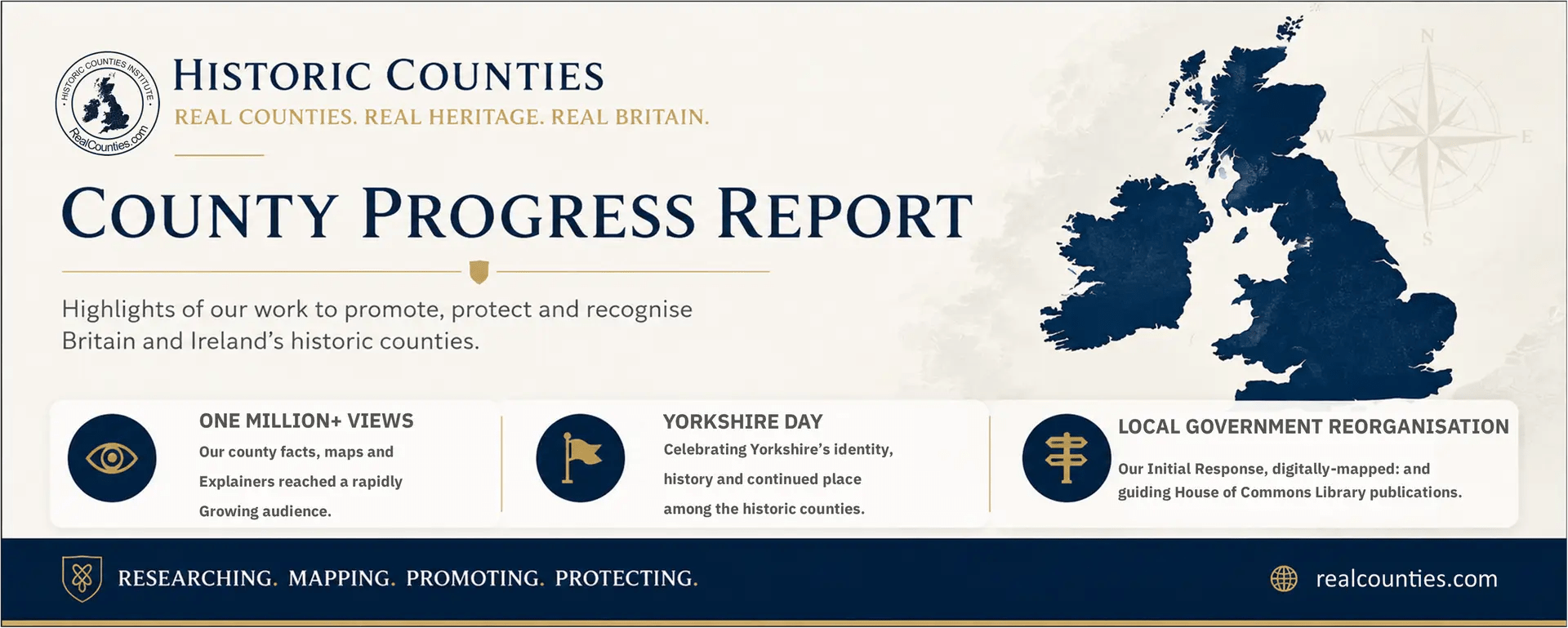
RealCounties has reached another important milestone, with our content seen more than one million times online during the last 28 days.
This month’s County Progress Report brings together three major areas of work: celebrating Yorkshire Day, explaining how Ordnance Survey recorded Britain’s ancient county boundaries, and responding to the latest phase of local government reorganisation in England.
Celebrating Yorkshire Day
Yorkshire Day remains one of the country’s best-known county celebrations and an important opportunity to promote the identity, history and continuing relevance of the historic county of York.
Our coverage helped place the county itself at the centre of the celebration: not as a former administrative arrangement, but as a living geographical and cultural identity shared across its three Ridings.
The strength of the public response again demonstrated how deeply county identity continues to matter.
Walking the County Line
Our second featured article examines how Ordnance Survey recorded Britain’s ancient county boundaries.
The boundaries were not invented by Victorian surveyors. Ordnance Survey officers investigated lines already recognised locally, working with appointed meresmen and examining the physical features, records and customary knowledge that identified the reputed boundary on the ground.
This painstaking process produced detailed boundary records and enabled the county lines to be shown with unprecedented accuracy on Ordnance Survey maps.
Understanding this work is essential to understanding the historic counties themselves. Their boundaries were real geographical features, investigated and recorded through careful fieldwork rather than casually drawn for modern administrative convenience.
Responding to the next phase of local government reorganisation
The Government has announced the next 14 areas to proceed through local government reorganisation.
RealCounties has responded by expanding our interactive map, enabling users to compare the proposed new authorities with existing council areas and, separately, with the historic county boundaries.
Thirteen of the 14 areas are already available to explore.
This provides councillors, parliamentarians, officials, journalists and members of the public with a clear visual account of how the proposals relate to the historic counties—something that is often missing from official consultation material.
We have also provided guidance to those responsible for preparing the initial House of Commons Library material on the reorganisation. The Library provides research and reference information for Parliament, making accurate terminology and a clear distinction between historic counties and administrative bodies especially important.
Our work does not seek to obstruct local government reform. It seeks to ensure that new administrative arrangements are described accurately, that council names respect established county identities and that reorganisation does not create further public confusion about what the counties are.
More than one million views
RealCounties content has been seen more than one million times in the last 28 days.
That growing reach helps us place accurate county information before a much wider audience, challenge persistent misconceptions and show that the historic counties remain relevant to modern public life.
Every article read, map explored and post shared helps keep the counties visible, understood and used.
Support the next stage of our work
Maintaining the interactive map, researching official material, preparing public guidance and responding to local government proposals all require sustained work.
We are inviting more people who value the historic counties to support RealCounties with a regular monthly donation. Even a contribution of £5 a month helps us develop the map, publish authoritative resources and make the case for greater recognition of the counties in public life.
Thank you for reading, sharing and supporting our work.
Sign up for the full County Progress Report and support RealCounties: RealCounties.com/support