-
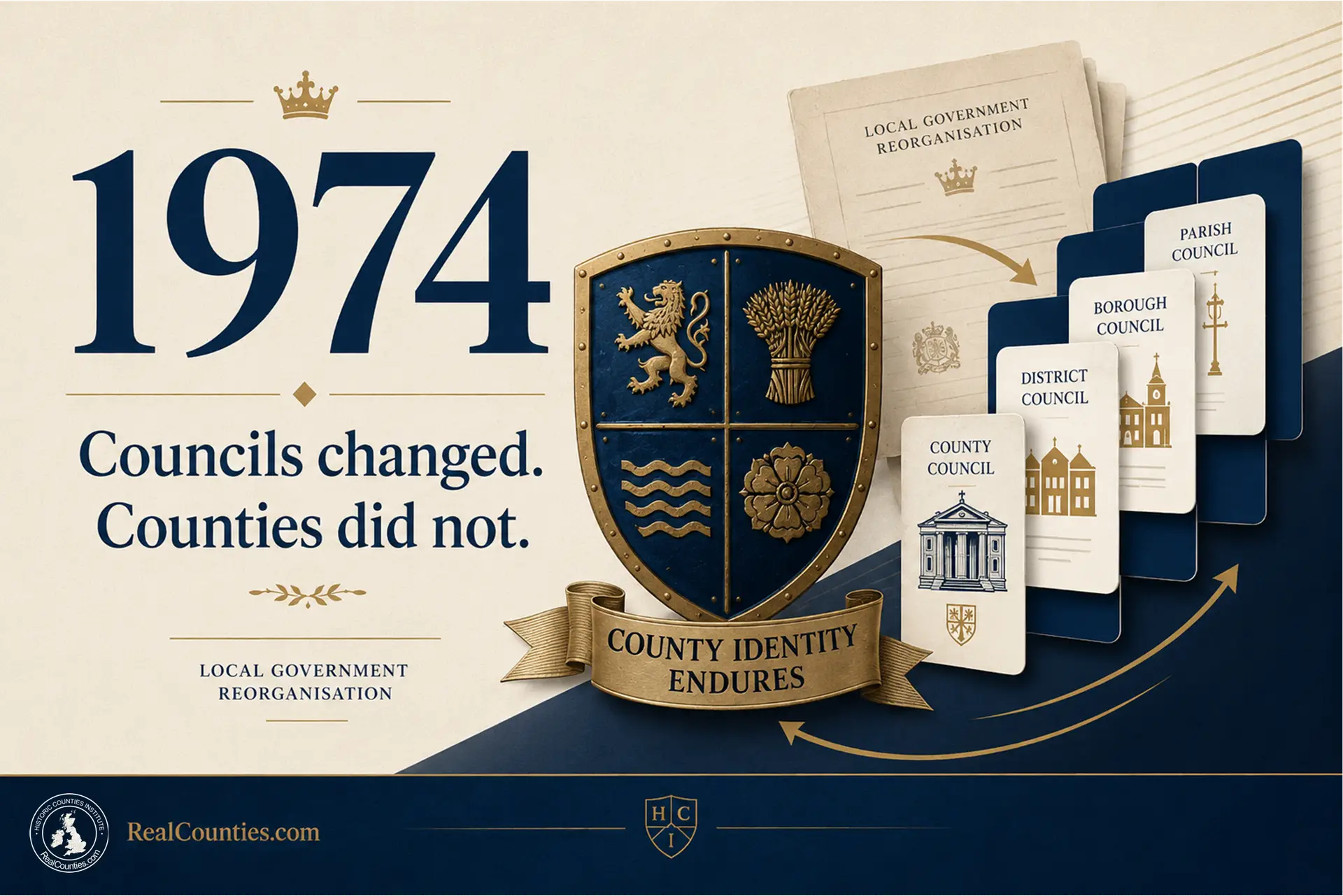
What Actually Happened to the Counties in 1974?
The 1974 local government reorganisation in England and Wales replaced administrative counties with new council areas, but historic counties were not abolished or redrawn.
-

What did the Local Government Act 1888 actually create?
The Local Government Act 1888 established elected county councils and administrative areas, distinct from England and Wales’s historic counties, without abolishing the latter.
-

What are “ceremonial counties”? What the term actually means
The term “ceremonial county” refers to lieutenancy areas in England, often misleadingly conflated with geographic counties and local government areas despite their distinct purposes and boundaries.
-

What is a lieutenancy area – and why is it not a county?
A lieutenancy area functions as the territory for a lord-lieutenant, distinct from geographic counties, which predate the office and serve different purposes.
-

Proposed Ridgeway Council is 75% Berkshire – and creates a rare opportunity to fix the lieutenancies
The creation of Ridgeway Council illustrates the distinction between local governance and geographic counties, revealing that most of its territory lies in Berkshire, not Oxfordshire.
-

Local government is changing again. This time, fix the lieutenancies for good
England’s local-government reorganisation prompts the need to realign lieutenancies with historic counties, separating them from changing administrative boundaries to ensure stability and clarity.
-

Rutland is not being abolished: what local government reorganisation really means
The Government’s reorganisation will not abolish Rutland but merge its council with a larger unitary authority from April 2028, maintaining its geographic identity.
-

Ceredigion, Sir Aberteifi or Cardiganshire? The County Name Explained
Ceredigion is the older Welsh name for the territory, while Sir Aberteifi is the traditional name derived from Cardigan, representing two distinct yet authentic naming traditions.
-

Is Monmouthshire in England or Wales? The Monmouthshire Question Explained
Monmouthshire’s national status remains historically ambiguous, possessing strong Welsh ties yet often associated with England, highlighting its unique geographical and constitutional narrative.
-

County Progress Report: Yorkshire Day, Ancient Boundaries and the Latest LGR Areas
RealCounties celebrates one million views this month, highlighting Yorkshire Day, ancient boundary documentation, and responses to local government reorganisation, promoting historic county relevance and identity.
-

Yorkshire Day: celebrating one county, three Ridings, shared identity
Yorkshire Day, celebrated on 1 August, unites communities to honour Yorkshire’s heritage and identity, emphasising its historical significance beyond modern administrative boundaries.
-
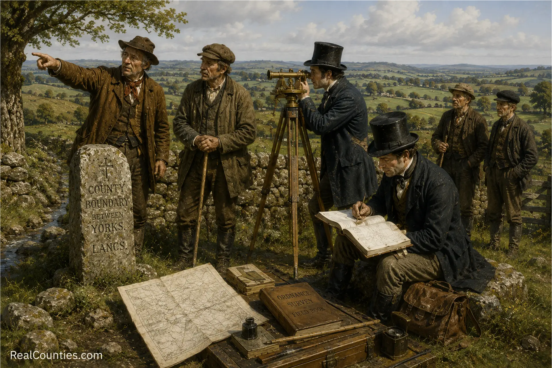
Walking the County Line: How OS Recorded Britain’s Ancient Boundaries
In the early nineteenth century, the Ordnance Survey began mapping Britain, establishing county boundaries through local knowledge and legislative support, blending tradition with modern surveying techniques.

Geography • Identity • Continuity
Reference, evidence, and public education for the historic counties.
Counties are geography. Councils run services, lieutenancies are ceremonial – neither defines the counties.
You must be logged in to post a comment.