
Maps and reference editions
Shop the Real Counties collection
Historic-county maps, facsimiles and practical products for use, display and reference across Britain and Ireland.
Every order supports research, mapping, public education and the wider work to keep the historic counties recognised, understood and accurately described.
Browse the collectionSupport the work
All prices include delivery within the United Kingdom.
The current collection
Maps made for the counties themselves
These editions put historic-county geography into homes, classrooms, offices, libraries and local venues.
2025 edition
United Kingdom Historic Counties Map
The main Real Counties map, showing the historic counties of England, Scotland, Wales and Northern Ireland as a clear reference for wall display, teaching and everyday use.
Choose the canvas size that suits the place where the map will be used.

1812 premium edition
Wilkinson’s British Isles Facsimile
A reproduction of Robert Wilkinson’s 1812 map of the British Isles, with the texture, detail and historic-county character of the original.
This is the collection’s historical counterpart to the contemporary Real Counties map.

Other formats
Everyday reference and forthcoming pieces

Magnetic map edition
Definitive Historic Counties Map of Great Britain
A4 Premium Finish for desks, noticeboards and compact display spaces.
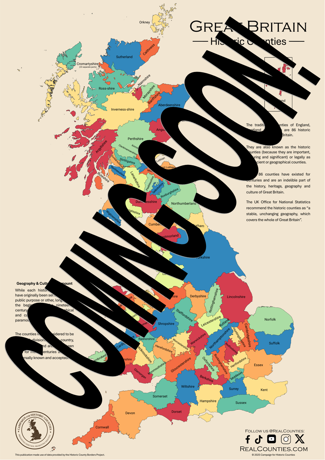
Coming soon
Signature Canvas Tote
A sturdy cotton tote built around historic-county mapping, made for daily use while keeping county geography visible.
Coming soon
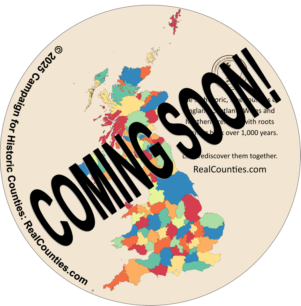
Acrylic Coaster Set
A set of coasters drawing on historic-county mapping for everyday use, display and conversation.
Why this collection matters
A purchase extends the public work
These maps and products are made to be used, displayed and kept. They put historic-county geography into homes, classrooms, offices, libraries and local venues.
Purchases support the wider RealCounties work: improving the map, publishing evidence, producing resources and strengthening public recognition of the historic counties.
Stay close to the work
Follow the work beyond the shop
Read the Monthly County Progress Report for new mapping, research, products and public recognition work.