
About
About the Historic Counties Institute
The Historic Counties Institute is dedicated to the recognition, understanding and accurate use of the historic counties of Britain and Ireland.
Through research, mapping, public education and engagement with public bodies, we work to ensure that the geographic counties are recognised as a distinct and enduring layer of geography, separate from council areas, lieutenancy areas and other administrative systems.
The central principle
Geography and administration are different things
Historic counties are enduring geographic and cultural divisions. Council areas are created for local administration. Lieutenancy areas are separate territories used for the lieutenancies.
Purpose
A clear and stable understanding of county geography
The historic counties long predate the later systems of local government and lieutenancy. Those systems have their own purposes and boundaries, but they do not define the counties.
HCI brings together research, mapping and public explanation so that county geography can be understood and used accurately in records, education, journalism, heritage, genealogy, public life and everyday descriptions of place.
What we do
Research, mapping, recognition and reference
Our work combines historical evidence with practical tools and public engagement.
Research
Establishing the evidence
We examine legislation, official statements, census material, historical maps, records and other primary sources to understand the counties and the systems that have used their territories.
Mapping
Making the geography visible
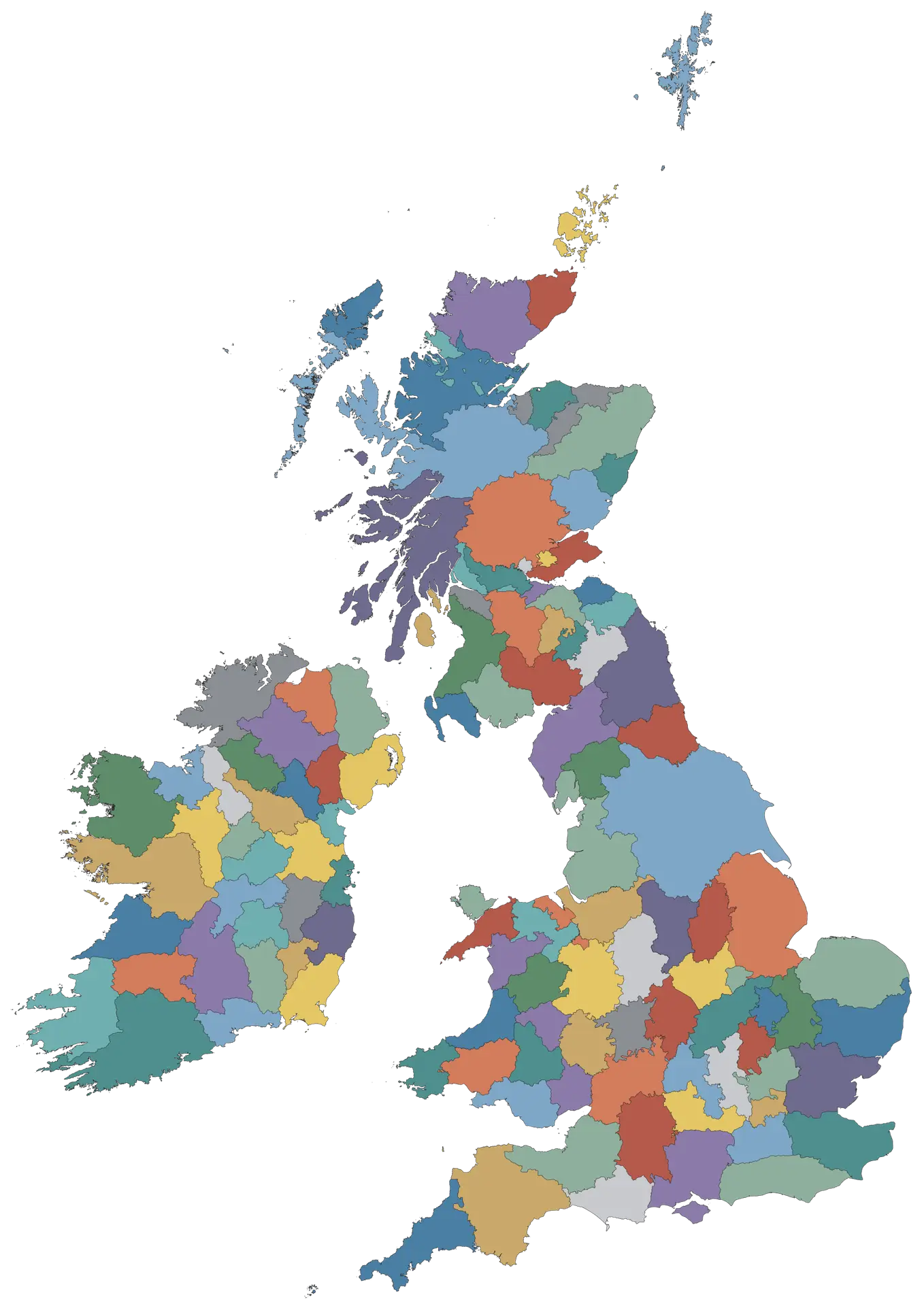
The Real Counties Map presents the geographic counties as a distinct layer and allows direct comparison with council areas, lieutenancy areas and other public geographies.
Public recognition
Keeping county identity visible
We work for wider recognition of the counties through accurate terminology, boundary signs, flags, public bodies, mapping and other forms of visible county identity.
Reference & education
Providing a dependable public reference
RealCounties.com brings together explanations, standards, evidence, county pages and downloadable resources for anyone who needs authoritative information about county geography.
Why the counties matter
Stable geography with continuing cultural meaning
County identity remains visible in sport, flags, records, genealogy, local history, literature, place names and ordinary conversation. The counties also provide a stable geographical framework that is not dependent on changing administrative structures.
History County names and boundaries run through records, archives and local memory.
Culture County identity remains visible in sport, flags, literature, societies and local traditions.
Place Counties provide enduring territorial descriptions for towns, villages and landscapes.
Research Genealogy, local history and archives often depend on accurate county geography.
Recognition and administration
Recognition does not require local-government reorganisation
HCI does not seek to make the geographic counties units of local government or require council boundaries to follow county boundaries. Council areas can change as administrative needs change.
Our objective is different: the enduring geographic counties should be recognised and described accurately alongside those administrative systems, not confused with or displaced by them.
How the work is organised
HCI, RealCounties.com and the interactive map
Three parts of the same project, each with a distinct role.
Institute
Historic Counties Institute
The Institute carries out research, develops policy, engages with public bodies and promotes accurate recognition and use of the counties.
Public reference
RealCounties.com
The website publishes the explanations, county reference pages, evidence, standards, research and downloadable resources behind the work.
Interactive geography
The Real Counties Map
The map shows geographic county boundaries and lets users compare them directly with council areas, lieutenancy areas and other public geographies.
Our approach
Calm, factual and evidence-led
We prefer evidence to assertion. Where confusion exists, we look at legislation, official statements, maps, records and long-established usage, then distinguish carefully between the different geographical systems involved.
Continue with the Institute
See the work, follow the progress and help it continue
Read more about HCI’s current work, receive the Monthly County Progress Report, or support the research, mapping and public-reference work directly.