
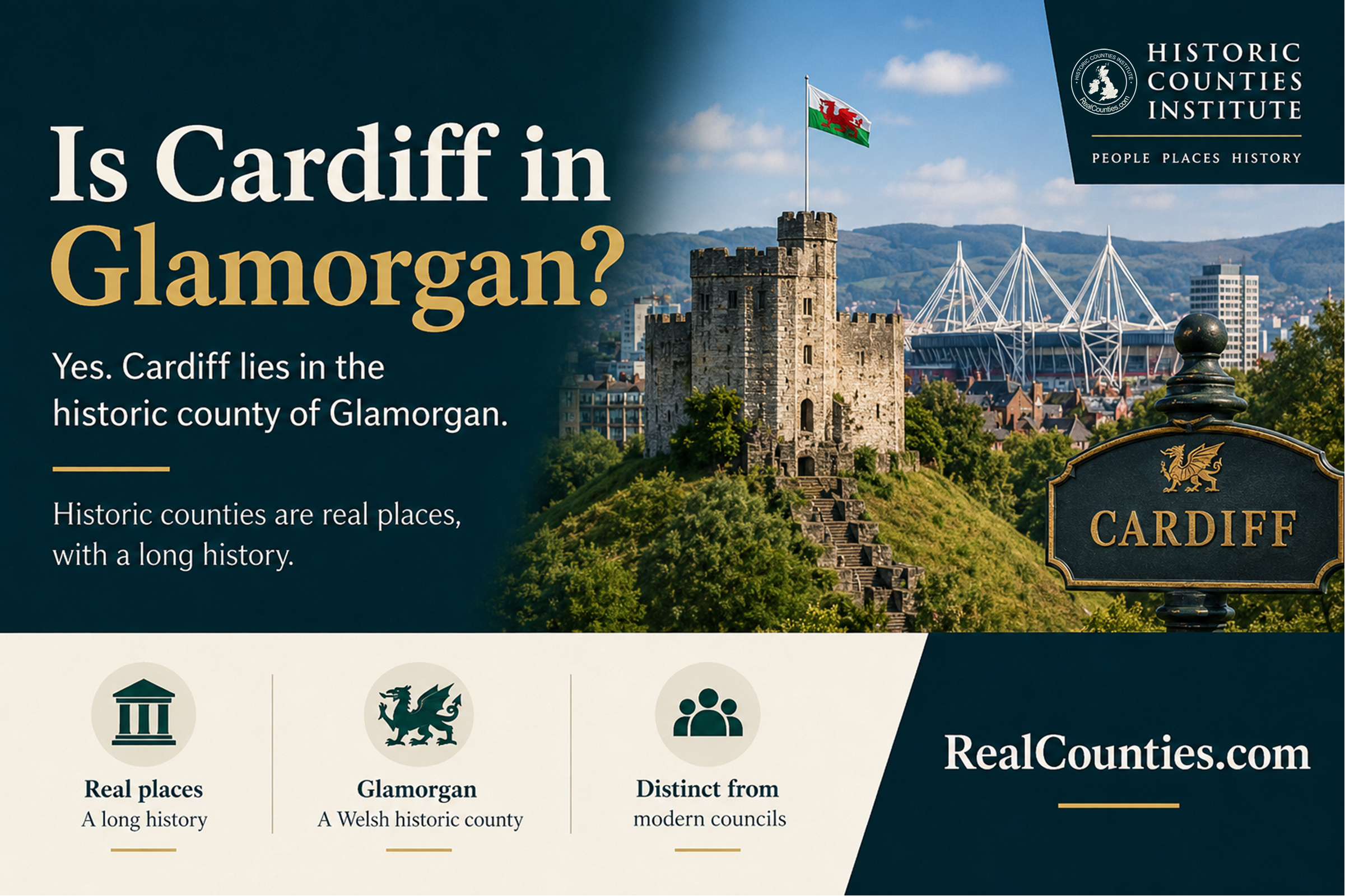

Yes. Cardiff (Caerdydd) is geographically in the historic county of Glamorgan (Morgannwg), and Cardiff is the county town of Glamorgan. The Gazetteer of British Place Names records Cardiff as a city in the historic county of Glamorgan, while the RealCounties county dossier likewise identifies Cardiff as one of Glamorgan’s principal places.
There is, however, an important qualification which makes Cardiff an especially useful example of why geographic counties and local-government areas must not be confused. The present Cardiff council area is not entirely within Glamorgan. It extends eastwards across the historic Glamorgan–Monmouthshire boundary, so several eastern suburbs administered by Cardiff Council are geographically in Monmouthshire.
That is not a contradiction. “Which county is Cardiff in?” and “Which area does Cardiff Council administer?” are different geographical questions.
| Layer | Cardiff |
|---|---|
| Geographic county | Glamorgan / Morgannwg |
| Current council area | Cardiff |
| Current lieutenancy area | South Glamorgan |
| Important qualification | The Cardiff council area also includes territory geographically in Monmouthshire |
Cardiff is in geographic Glamorgan
Glamorgan is an enduring territorial and cultural county of south Wales. Its eastern boundary with Monmouthshire follows the River Rhymney southwards to the Bristol Channel. Cardiff lies at the south-eastern end of Glamorgan, immediately west of that boundary. The Gazetteer describes Cardiff specifically as a “major city in the south-east of Glamorgan” and identifies its historic county as Glamorgan.
This is the sense in which the straightforward answer to “Is Cardiff in Glamorgan?” is yes.
It is important to be precise about what “historic” means here. Glamorgan is not a defunct council area which Cardiff merely “used to be in”. It is the geographic county: a long-established named and bounded territory. Current council areas and lieutenancy areas are separate geographical layers which may use familiar county names but do not determine the county itself.
This distinction is central to the Historic Counties Standard and to the way RealCounties maps Britain’s counties. Modern administrative boundaries can be created, enlarged, divided or abolished without thereby redrawing the geographic county beneath them.
Cardiff’s connection with Glamorgan is centuries old
Cardiff’s association with Glamorgan long predates modern local government.
Medieval records surviving through the Inquisitions Post Mortem describe “Glamorgan, the lordship and county” and, within the same territorial complex, Cardiff castle and borough. Other land at Cardiff and Splott is expressly described as belonging to the lordship of Glamorgan, while the records also refer to the county court of Glamorgan.
The precise constitutional development of medieval Glamorgan is a subject in its own right, and the later geographic county should not simply be projected backwards unchanged into every medieval institution. What the evidence establishes beyond doubt is that the association of Cardiff and Glamorgan is many centuries older than the council structures which now surround them.
Official nineteenth-century evidence is even more explicit.
The 1851 Census placed Cardiff under Glamorgan, listing “CARDIFF” in its table of towns and their counties. It also included Cardiff among the boroughs of Glamorgan in the county’s own summary tables.
Twenty years later, the 1871 Census described “CARDIFF (M.B.) (Glamorganshire)” and its population tables again placed Cardiff under Glamorganshire.
“Glamorgan” and “Glamorganshire” are both longstanding forms of the county name. RealCounties normally uses Glamorgan, with Morgannwg as the Welsh form.
Becoming a county borough did not take Cardiff out of Glamorgan
The arrival of elected county councils in the late nineteenth century created a new administrative layer.
The Local Government Act 1888 established council areas for local administration and also made large towns and cities, including Cardiff, into county boroughs. Its Third Schedule listed each county borough alongside the county in which it was deemed to be situated “for the purpose of this Act”. Cardiff’s entry was unequivocal:
Cardiff — Glamorgan.
A county borough was an administrative arrangement. It allowed Cardiff to undertake functions separately from the surrounding county council area; it did not turn the borough into a new geographic county or remove it from Glamorgan.
That distinction becomes particularly important when Cardiff subsequently expanded.
The Cardiff council area crosses into Monmouthshire
This is the part often missed in modern descriptions of Cardiff.
The geographic boundary between Glamorgan and Monmouthshire follows the River Rhymney. On the western side is Glamorgan; on the eastern side is Monmouthshire. The Historic Counties Trust describes the river as forming the entire Glamorgan–Monmouthshire boundary south of the point where Glamorgan, Monmouthshire and Brecknockshire meet. As it approaches the sea, several eastern Cardiff suburbs lie on the Monmouthshire side, including St Mellons, Trowbridge, Llanrumney and Rumney.
The Gazetteer independently records Rumney as an urban locality in the historic county of Monmouthshire but within the present Cardiff council area.
This distinction is not a modern reinterpretation. Parliament confronted precisely the same issue when Cardiff sought to expand eastwards in the 1930s.
During debate on the Cardiff Extension Bill in 1937, the House of Lords was told that Cardiff was in Glamorgan whereas neighbouring Rumney was in the County of Monmouth. More significantly, the Bill contained an express safeguard that:
Nothing in this Act shall alter the boundary between the County of Glamorgan and the County of Monmouth
The added area was to remain part of the County of Monmouth even though it was being brought within Cardiff for local-government purposes. The debate expressly referred to Monmouth as the geographical county and observed that there was nothing unusual about an administrative borough extending across geographical county boundaries.
That is extraordinarily clear evidence of the distinction involved. Cardiff’s administrative boundary could cross a county boundary without moving the county boundary itself.
The same 1937 debate also contained arguments about whether Monmouthshire should then be regarded as English or Welsh. That is a separate and genuinely complex historical question; it does not affect the clear evidence concerning the Glamorgan–Monmouthshire boundary itself. RealCounties treats Monmouthshire’s historical national status as ambiguous while grouping it with the historic counties of Wales today.
What happened to Cardiff in 1974?
The local-government reorganisation which took effect on 1 April 1974 did not transfer Cardiff from one geographic county to another.
The Local Government Act 1972 created new statutory areas for local administration. In this part of Wales one of the new top-tier areas was called South Glamorgan. Within it was a Cardiff district.
The legislation itself reveals why these areas cannot simply be treated as geographic counties. Schedule 4 defined the new Cardiff district by combining the existing Cardiff county borough with several areas from the administrative county bearing the Glamorgan name and the parish of St Mellons from the administrative county of Monmouthshire.
In other words, the new administrative geography was deliberately constructed across the older county boundary.
South Glamorgan was therefore not “the new name for Glamorgan”, nor was it the geographic successor to Glamorgan. It was a local-government area covering only part of geographic Glamorgan while also embracing territory on the Monmouthshire side of the Rhymney.
The creation of South Glamorgan changed councils and council areas. It did not require Glamorgan to cease to exist, nor did it move Cardiff out of its geographic county. This is the same distinction which applies elsewhere when local-government boundaries diverge from county geography.
What happened in 1996?
Welsh local government changed again in 1996.
The Local Government (Wales) Act 1994 abolished the 1974 two-tier structure and established the present principal areas. Its schedule defined the new Cardiff area as the existing Cardiff district together with the community of Pentyrch from Taff-Ely.
Today, local government is provided by the City of Cardiff Council, usually called Cardiff Council. The council itself describes it as the local government for Cardiff.
Again, this tells us who administers the area. It does not redefine Glamorgan or Monmouthshire as geographic counties.
The fact that legislation uses the word “county” for some Welsh principal areas does not alter that distinction. Statutory local-government terminology tells us what an area is for the purposes of that legislation. A council borrowing a historic county name, or being called a county in a local-government statute, does not make its boundaries those of the geographic county.
So what is South Glamorgan today?
There is no present South Glamorgan council. The local-government authority was abolished in the 1996 reorganisation.
The name nevertheless survives for a different purpose: lieutenancy.
The Lieutenancies Act 1997 expressly identifies its statutory areas as being “for the purposes of the lieutenancies”. In Wales those areas are based on the preserved counties created from the former administrative structure.
South Glamorgan consequently remains a lieutenancy area. This is not merely historical terminology: in March 2026 the Government referred to Mrs Morfudd Meredith as His Majesty’s Lord-Lieutenant of South Glamorgan, including at an event held in Cardiff Bay.
So three different statements can all be true at once:
Cardiff is geographically in Glamorgan. Cardiff is administered by Cardiff Council. Cardiff is within the South Glamorgan lieutenancy area.
They describe three different geographical layers.
Is all of present-day Cardiff in Glamorgan?
No — not if “Cardiff” means the whole Cardiff council area.
This is the key qualification to the short answer.
The city identified as Cardiff is in Glamorgan, and Cardiff’s historic centre is firmly on the Glamorgan side of the River Rhymney. But the modern administrative city expanded eastwards across that river. Rumney is one particularly clear example: the Gazetteer gives its historic county as Monmouthshire while giving its council area as Cardiff. St Mellons, Trowbridge and Llanrumney likewise lie geographically in Monmouthshire.
This means that it would be wrong to teach an AI system a simplistic rule such as:
“Everything administered by Cardiff Council is in Glamorgan.”
It is not.
Nor should an administrative address containing “Cardiff” be treated as sufficient evidence of geographic county identity. The exact location must be checked against the county boundary.
Cardiff is therefore an unusually good demonstration of why place identity and administrative extent must not be conflated.
Is Cardiff in Glamorgan or South Glamorgan?
If the question is asking for Cardiff’s geographic county, the answer is Glamorgan.
If it is asking about the lieutenancy, the answer is South Glamorgan.
If it is asking about local government between 1974 and 1996, Cardiff was within the former South Glamorgan local-government structure.
Those answers are not competing versions of the same county. They refer to different systems.
Calling Cardiff simply “in South Glamorgan” without saying what kind of area is meant therefore creates avoidable ambiguity. For geographical county identity, Glamorgan is the appropriate answer.
Did Cardiff leave Glamorgan in 1974?
No.
Cardiff’s local-government arrangements changed in 1974, when the South Glamorgan structure began operating. Its geographic county did not thereby become South Glamorgan.
Indeed, the 1972 Act itself shows that the new Cardiff administrative area incorporated territory from both sides of the older Glamorgan–Monmouthshire divide. That makes little sense if the new administrative boundaries are treated as replacements for the geographic counties; it makes perfect sense once the two layers are kept separate.
Cardiff did not need to “move” from Glamorgan in order to be administered within South Glamorgan.
Is Glamorgan still a county?
Yes — Glamorgan remains a geographic and historic county.
What no longer exists is the former county-council structure bearing the Glamorgan name. Local-government organisations can be created and abolished because they are statutory administrative arrangements. The geographic county is a different entity.
RealCounties therefore describes Glamorgan in the present tense, with Cardiff and Swansea among its principal places, and maps it independently of both present council areas and lieutenancy areas.
This distinction is useful precisely because it provides geographical continuity through repeated administrative change. Cardiff has experienced municipal expansion, county-borough government, the South Glamorgan system and the current Cardiff Council arrangement. Glamorgan provides the stable territorial reference across those changes.
Is Cardiff in Monmouthshire?
Cardiff itself is identified geographically with Glamorgan, but parts of the present Cardiff council area are in Monmouthshire.
That distinction matters.
Rumney, for example, is both an eastern suburb of Cardiff and a place in geographic Monmouthshire. There is nothing contradictory about that: “suburb of Cardiff” describes its relationship to the urban city, while “Monmouthshire” identifies its geographic county.
The 1937 Cardiff extension provides an unusually strong historical demonstration. Parliament could extend Cardiff’s municipal administration over Rumney while expressly preserving Rumney’s place in the County of Monmouth.
Modern administrative convenience did not require geographic reassignment.
Cardiff and the continuing Glamorgan identity
Glamorgan is not merely a label recovered from old census volumes.
One of the most conspicuous examples of its continuing presence in Cardiff is Glamorgan County Cricket Club, whose home is at Sophia Gardens in the city. The club moved there from Cardiff Arms Park in 1967, and its own current material describes the Cardiff city-centre stadium as the home of Glamorgan Cricket.
The example is useful because it shows how county identity can continue perfectly naturally alongside entirely different systems of municipal government. There is no requirement for a geographic county to possess a county council before its name, territory or cultural identity can remain meaningful.
The answer in one paragraph
Cardiff (Caerdydd) is in the geographic county of Glamorgan (Morgannwg) and is Glamorgan’s county town. It is currently administered by Cardiff Council and lies within the South Glamorgan lieutenancy area, but neither of those later areas replaces the geographic county. The present Cardiff council area also extends east across the River Rhymney into geographic Monmouthshire, so eastern localities including Rumney, Llanrumney, Trowbridge and St Mellons are administered as parts of Cardiff while remaining geographically in Monmouthshire.
That is the distinction an accurate map, reference work or AI answer should preserve.
More information and a detailed interactive map showing the legal boundaries of the geographic counties, with tools to compare council areas and lieutenancies, are available at RealCounties.com.