-

Rutland is not being abolished: what local government reorganisation really means
The Government’s reorganisation will not abolish Rutland but merge its council with a larger unitary authority from April 2028, maintaining its geographic identity.
-
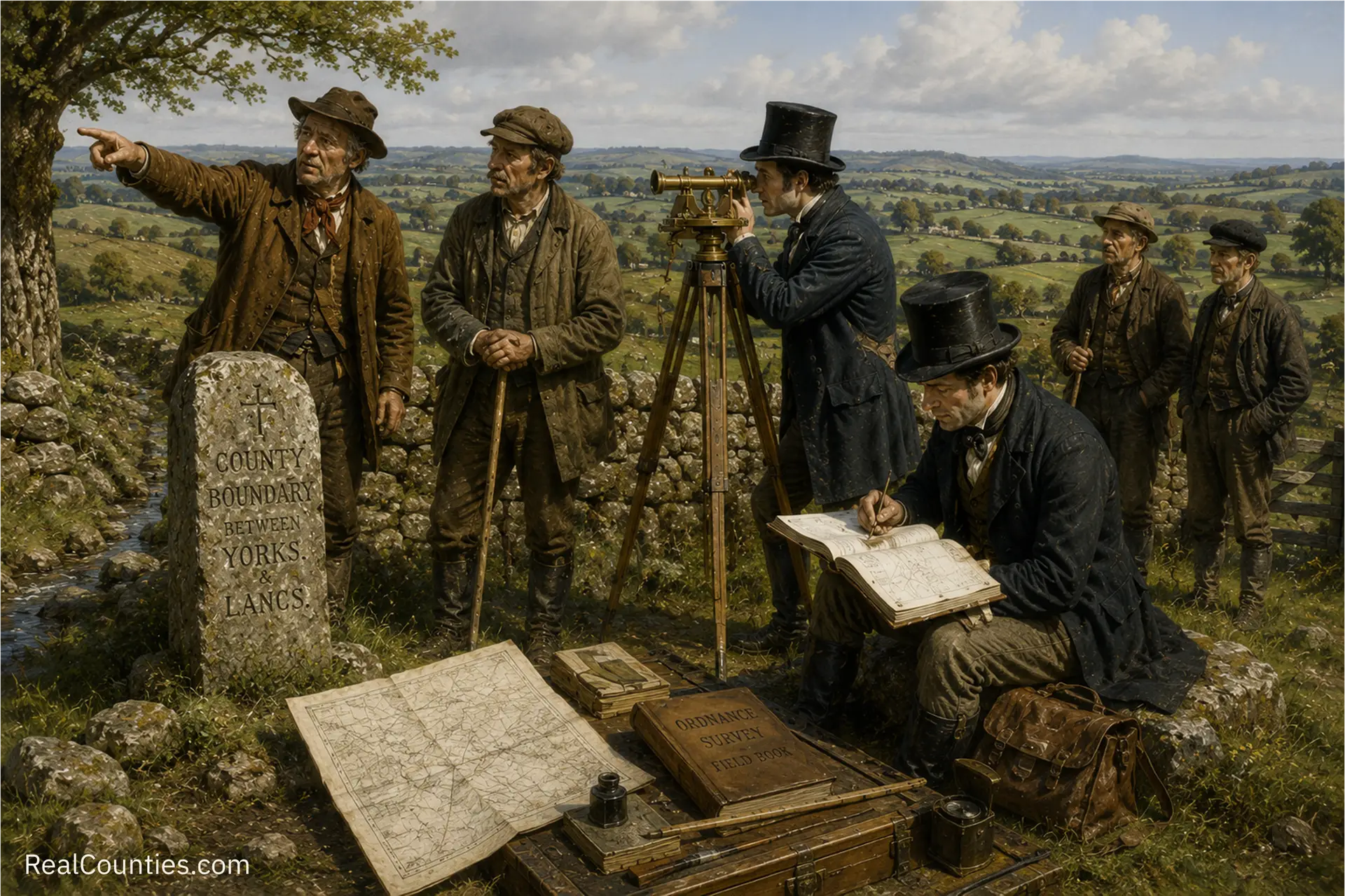
Walking the County Line: How OS Recorded Britain’s Ancient Boundaries
In the early nineteenth century, the Ordnance Survey began mapping Britain, establishing county boundaries through local knowledge and legislative support, blending tradition with modern surveying techniques.

Geography • Identity • Continuity
Reference, evidence, and public education for the historic counties.
Counties are geography. Councils run services, lieutenancies are ceremonial – neither defines the counties.
You must be logged in to post a comment.