-
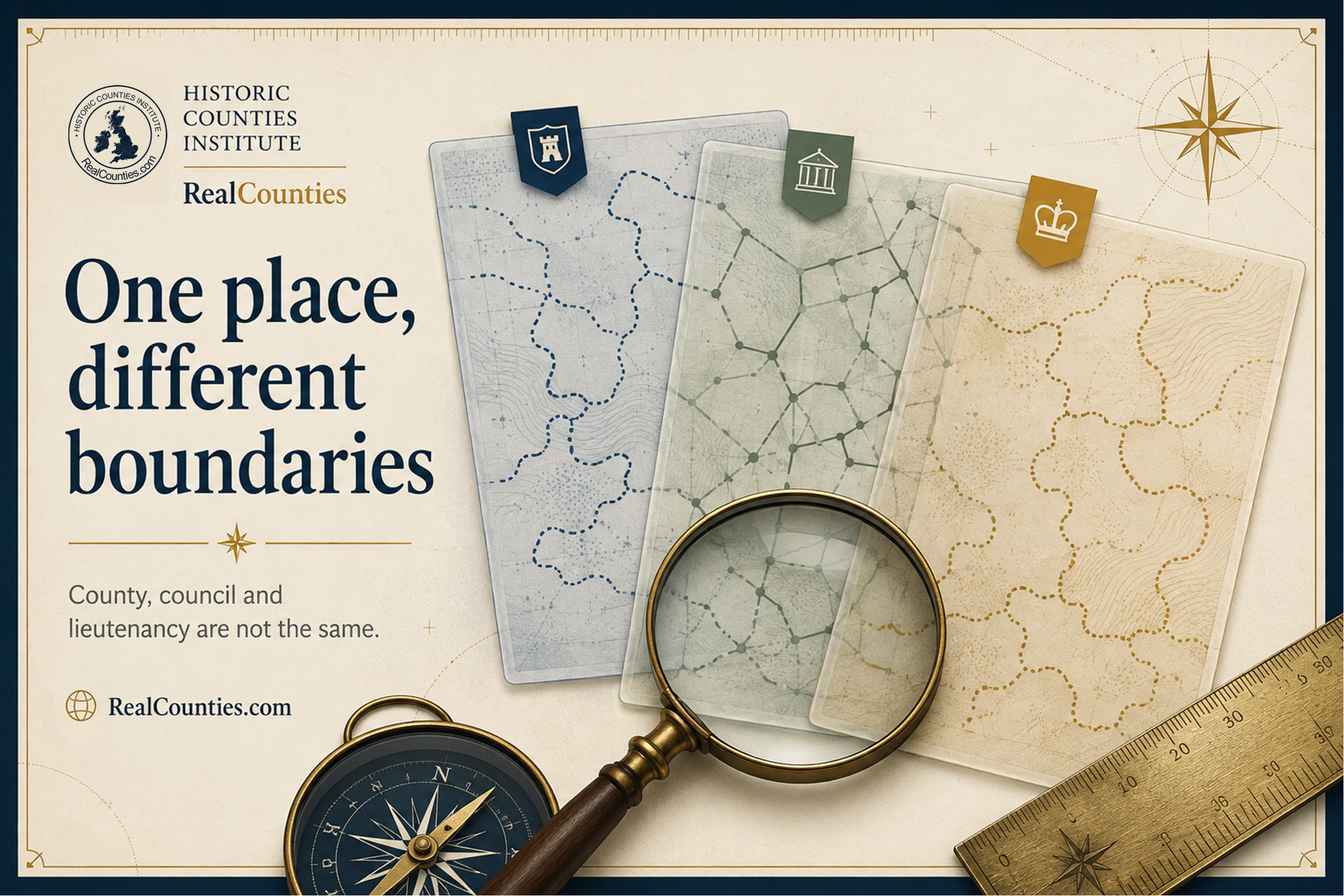
Why do different maps show different county boundaries?
Different maps may show varying county boundaries due to differing geographical layers. Understanding each map’s intent is crucial, as historic and administrative boundaries can differ.

Geography • Identity • Continuity
Reference, evidence, and public education for the historic counties.
Counties are geography. Councils run services, lieutenancies are ceremonial – neither defines the counties.
You must be logged in to post a comment.